Low Clouds
These are clouds that are based usually below 6,500 ft over British Isles. These include: Stratocumulus, Stratus, Cumulus, and Cumulonimbus.
Stratocumulus Clouds
These clouds are low, puffy and gray. Most form in rows with blue sky visible in between them. Rain rarely occurs with stratocumulus clouds, however, they can turn into nimbostratus clouds. They also have regularly arranged small elements with an apparent width of more than five degrees (three fingers - at arm's length).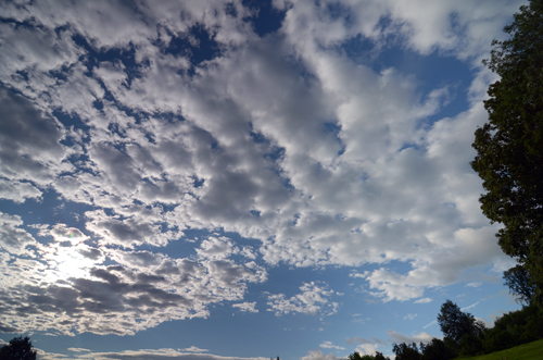
Stratus Clouds
These are uniform grayish clouds that often cover the entire sky. They resemble fog that doesn't reach the ground. Light mist or drizzle sometimes falls out of these clouds.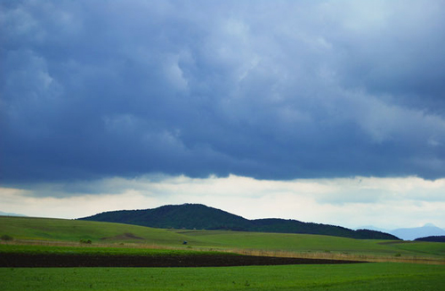
Cumulus Clouds
These are white, puffy clouds that look like pieces of floating cotton. Cumulus clouds are often called "fair-weather clouds". The base of each cloud is flat and the top of each cloud has rounded towers. When the top of the cumulus clouds resemble the head of a cauliflower, it is called cumulus congestus or towering cumulus. These clouds grow upward and they can develop into giant cumulonimbus clouds, which are thunderstorm clouds.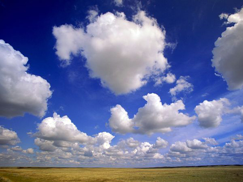
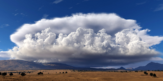
Cumulonimbus
These are thunderstorm clouds. High winds can flatten the top of the cloud into an anvil-like shape. Cumulonimbus clouds are associated with heavy rain, snow, hail, lightning and even tornadoes. The anvil usually points in the direction the storm is moving.